
Pre-processing and post-processing of aerial and terrestrial LiDAR data is a challenging task that demands specialized resources, tools, and hardware. Layer Informatics offer the full suite of services necessary to create high accuracy surface models derived from LiDAR data in accordance with our customers’ pre-defined specifications.
While scanning the scanner may have an error due to angles of laser travel as the laser instrument is not perfectly aligned with the aircrafts head, roll, pitch. There may be differential shaking of the laser scanner and INS. Further, the measurement of scanner angle may have an error.
The misalignment between the laser scanner and the Inertial measurement unit (IMU) may require additional calibration parameters for strip adjustment as well. Those must be solved using more manual methods with system-specific software.


Aerial Lidar technology uses overflying GPS-monitored aircraft equipped with onboard positional and IMU sensors. It records the reflected calibrated laser returns from the earth’s surface. Lidar data is an accurate and effective method for creating three-dimensional topographical aerial maps and highly accurate aerial surveys of both surface terrain elements and man-made structures.
Aerial Lidar is an excellent technology in Lidar survey. Using this technology we can create raw point clouds, classified point clouds, DEMs, intensity images.
The applications for this technology are widespread and include electric distribution and transmission, roads and railways, oil and gas, water, forestry, and agriculture.


Mobile LiDAR offers numerous advantages over aerial mapping and conventional ground surveys. This non-invasive method of surveying can be operated day or night, with the efficient acquisition of millions of 3-D design points per minute
Mobile mapping systems also have many uses across a wide range of industries, from surveying applications like city modeling & highway surveys to environmental, transportation and utility mapping. These data points can be used to create accurate, three-dimensional digital elevation models (DEMs) or Digital Terrain Models of almost any environment
The system provides designers with a more "complete" picture of the project with accurate point measurements and the ability to locate features that may be inaccessible with other methods
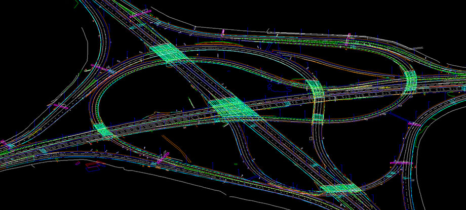
The applications for this technology is used in Road and highway survey, Town / City street mapping or modeling, Quarry mapping, Railway routes


LiDAR-based feature extraction is an emerging technology that utilizes the spatial characteristics of the point cloud, as well as the attributes of each point.
Every LiDAR point can have a classification assigned to it that defines the type of object that has reflected the laser pulse. Lidar points can be classified into a number of categories including bare earth or ground, top of the canopy, water, and other features(Spatial and nonspatial). The different classes are defined using numeric integer codes in the LAS files.
Key Outputs can be derived and filtered from the Laser data:


Elevation data generally comes in two formats: contour lines or digital elevation models (DTM) and Digital Surface model (DSM).
Digital Terrain Model (DTM) or Digital Surface Model (DSM) is the digital representation of the land surface elevation with respect to any reference datum. Terrain model is the ground elevation and surface model includes buildings, trees, etc.


Contour lines are the elevation lines and they are generally measured in feet or meters from above sea level. A line on a map representing an imaginary line on the land surface. Contour lines are generated using the DSM & DTM derived from the Lidar data.
The contour lines generated using the DTM (Digital Surface Model) are useful when the area is covered by objects, like buildings. The objects are filtered out for the DTM generation and they do not affect the contour lines based on the DTM.
The contour lines generated using the DSM (Digital Surface Model) are useful when the area is not covered by objects, like buildings.


3D city models are digital models of urban areas that represent terrain surfaces with all its features. These features include aforesaid virtual features as well as other physical furnishings such as buildings, landmarks, vegetation, infrastructure landscapes, and terrain. Their components are described and represented by corresponding two-dimensional and three-dimensional spatial data and geo-referenced data.
3D city models are visually integrating various geospatial elements to real-world scenarios with all its complexities. Creation of automatic 3D city models involves preparation of database based on the required level of details, storage of the same in a database, construction and detailing of city models and visualization of the same through various application platforms.
There are several kinds of input data used for the preparation of 3D city models. These are ranging from very high-resolution stereo aerial photographs to high precision Lidar data to high-resolution satellite images.


